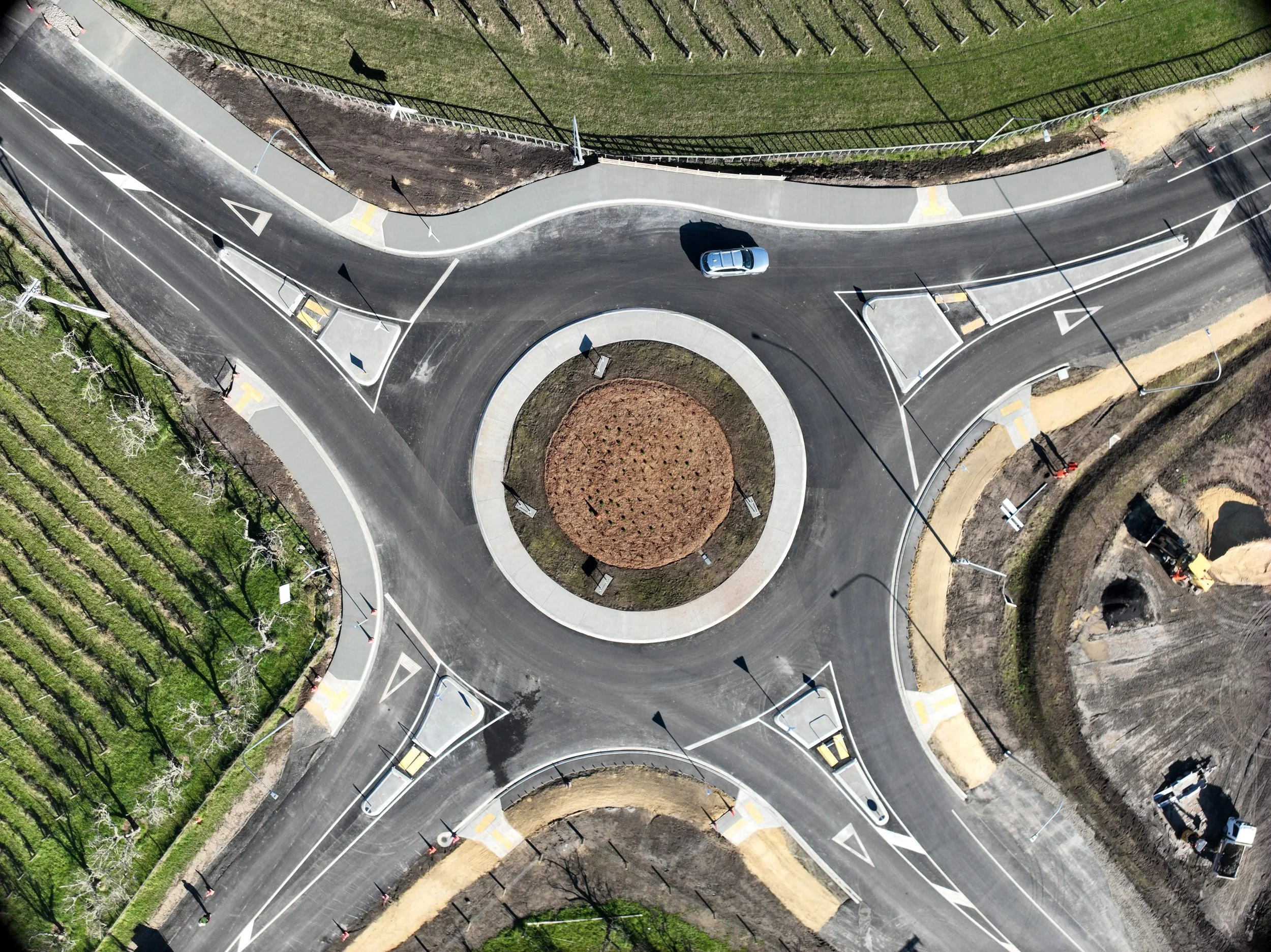
With a commitment to precision and fast turnaround times, I provide accurate surveying when you need it - Keeping your projects on track.
Services
Topographical Surveys
Drone Surveying and Aerial Mapping
Point Cloud and Digital Terrain Model Generation
Engineering Set-Out
Trimble, Topcon & Leica Machine Control Models
Control Network Establishment and Maintenance
Deformation and Settlement Monitoring
Volume Calculations for Progress Claims and Forecasting
Stockpile and Quarry Volume Reporting
As-Built Surveys
As-Built Plan Preparation and Drafting
3D Modelling
Council Asset Data Capture (WASABI & RAMM Compliant Deliverables)